Where will the Drone be at the end of the test flight ?

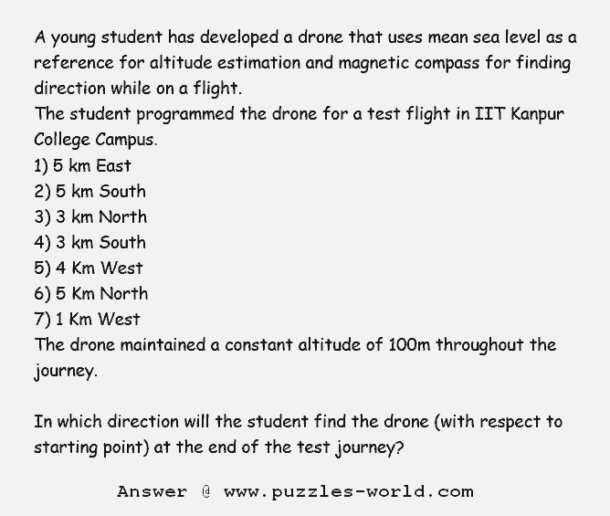
A young student has developed a drone that uses mean sea level as a reference for altitude estimation and magnetic compass for finding direction while on a flight.
The student programmed the drone for a test flight in IIT Kanpur college Campus.
1) 5 km East
2) 5 km South
3) 3 km North
4) 3 km South
5) 4 Km West
6) 5 Km North
7) 1 Km West
The drone maintained a constant altitude of 100m throughout the journey.
In which direction will the student find the drone (with respect to starting point) at the end of the test journey?
